About Ciudad del Carmen

Known also as "âThe Pearl of the Gulf"â, the island of Ciudad del Carmen is located in the southwest side of the Mexican state of Campeche and is the municipal head of the Municipality of "âEl Carmen"â.
During colonial times, the island was habited by mayas and nahuatl, who built an important commercial and trade route in the zone. After that, with the arrival of the Spanish conquerors guided by Juan de Grijalva, the island and the lagoon located around it was called "âTérminos"â (Endings), due to the fact that the Spaniards believed that this was the point where the "âisland"â of Yucatan ended.
Some time later, explorer Antón de Alaminos called it "âIsla de Tris"â. Unitl the 18th Century, the veneration of the village population towards the Virgin Carmen, inspired the change in its name.
Its strategic geographic situation in the waters of the Gulf of Mexico resulted as a disadvantage when in the 16th century the pirate attacks reached the country coasts. Due to this, added to the natural richness of the island and the "âTerminos"â lagoon, the European pirates decided to invade the island and settle there practicing hunting, fishing and trading the coveted wood "âPalo de Campeche"â or "âPalo de tinte"â, blackish wood which inside is red. The first records of the pirate invasions date from 1558, nevertheless it was not until July 16, 1717, Virgin Carmen day, when the Spaniards recovered the control of this territory. From this situation, the government decided to build a fort in order to protect the island from the adventurers return, original population of Ciudad del Carmen.
During the conformation of the new independent country in the 19th century, the island of Carmen belonged mainly to the state of Yucatan, alternating the control of the island in some occasions with the neighbor state of Tabasco. Until the state of Campeche was constituted in 1958 and the state Congress assigned to the Municipality of Carmen the following: Ciudad del Carmen, the settlements of Palizada, Sabancuy and Mamantel, the ranchs of Isla Aguada, Boca de Cerillos, Pom, Ribera Alta y Baja del Río Palizada.
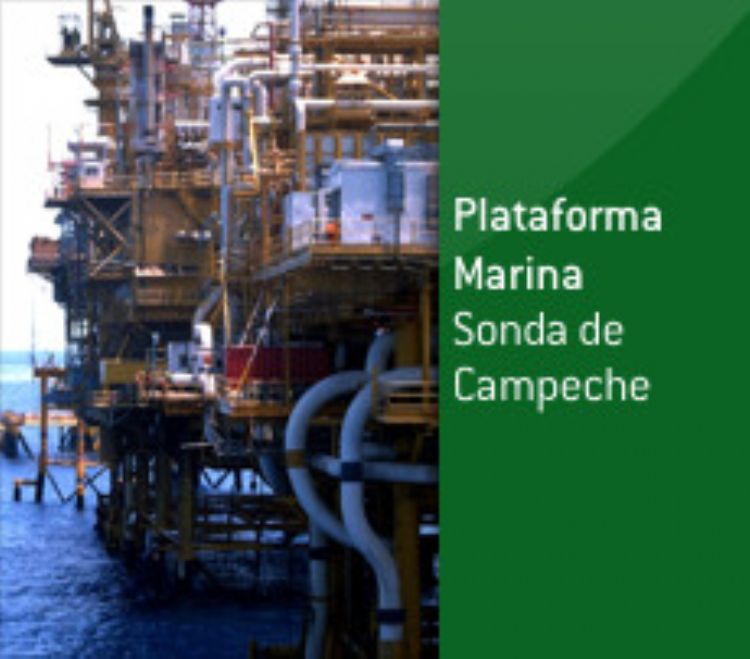
The exploitation of Word suffered by the island in the 17th century produced the zone's deforestation, thus, the Carmelita economy had to move toward another economic sector different from product trade and exportation: shrimp fishing. Lately, with the discovery of the existence of oil, the state company PEMEX, today the center of the oil operations in the country, from which it is obtained the 33% of the country"âs gas and 83% of the country's oil.
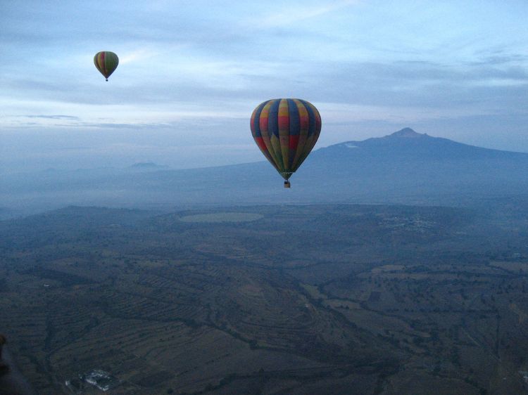
The warm and humid weather of the island, gives the city the tropical feeling of a beach and sun scenery, with temperatures ranging from 25ºC to 33ºC.
Articles Releated with Ciudad del Carmen
Mexican Oil; The Most Important Fields
The oil industry in the world has changed dramatically in...
The 5 safest cities in the country of Mexico
Several foreign and domestic agencies such as the Interna...

The figures, regarding drug trafficking in México
Lately, this seems to be the hot topic no matter the soci...

Most Viewed


Mexican Writers, Octavio Paz and Emilio Carballido
From the XIX century until now, Mexican writers have been...
Cancún, one of the Best Mexican Destinations
Cancun is Mexicoâs most important tourist destination, ...