The earthquake of Veracruz of 1973, also known as the Ori...
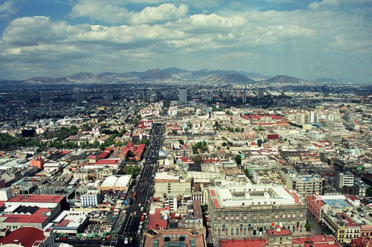
Located in the beautiful Valley of Mexico, the Federal District stands right in the center of the country, extends throughout 1,485 sq. kilometers and occupies only 0,1% of the nations territory, indeed the smallest of all entities within the federation. As a result of its geopolitical condition, it borders the state of Mexico on the north, east and west, and the state of Morelos on the south. The region of the Lakes and Volcanoes of Anahuac is characteristic for the predominance of volcanic ranges of high altitude. The main peaks of the Federal District include the Cerro Ajusco at 3,930 meters; the Tlaloc Volcano at 3,690 meters; the Cerro Pelado at 3,620 meters; the Cuaitzin Volcano at 3,510 meters; the Chichinautzin Volcano at 3,490 meters; and the Guadalupe Volcano at 2,820 meters of altitude. The plains known as the Llanura Lacustre is located at the northeaster side of the Distrito Federal and covers 20% of its surface. The main climates present in the state include tempered sub-humid with rains during the summer, and semi-cold and humid with plenty of rain in the summer, for which visitors are advised to have an umbrella and light sweater at hand.
The system of haciendas was the main economic organizatio...

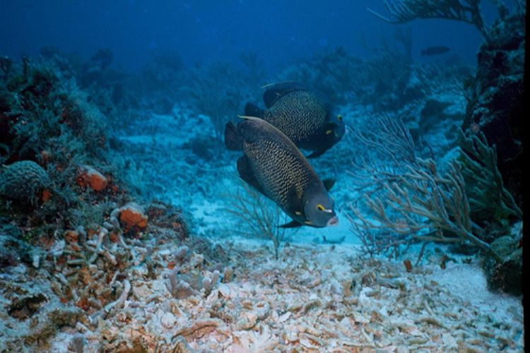
The State of Quintana Roo has one of the most dynamic tou...