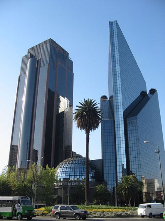
The Stock Exchange of any part of the world responds to t...
The state of Aguascalientes is located in the central part of Mexico, between the states of Zacatecas and Jalisco, and extends throughout an area of 5,589 sq. kilometers.
It has a dry and desert-like climate with an average temperature of 18 ºC. Its rainy season comes during the summer months of June through August, while the colder months are recorded between November and February.
The San Pedro river or Aguascalientes river -as it is also is known,-has its source in the neighboring state of Zacatecas. Its waters are used for agriculture and its many dams are now insufficient due to the populations high demand for water.
In the higher elevations like Sierra Fría, Sierra del Laurel, Cerro del Mirador, Cerro del Laurel and Cerro de San Juan, pine, cedar and oak forests are common; and white tail deer, wildcats, and squirrels are some of the wildlife species that can be seen.
In the valleys with a desert-like climate visitors can find prickly pears, giant cactus, small peach called duraznillos, and palm trees, as well as wild animals like coyotes, wolves, raccoons, eagles, and owls.
Gross Domestic Product (GDP) is the total monetary value ...

The Supreme Court of the Nation is the Highest Court of J...