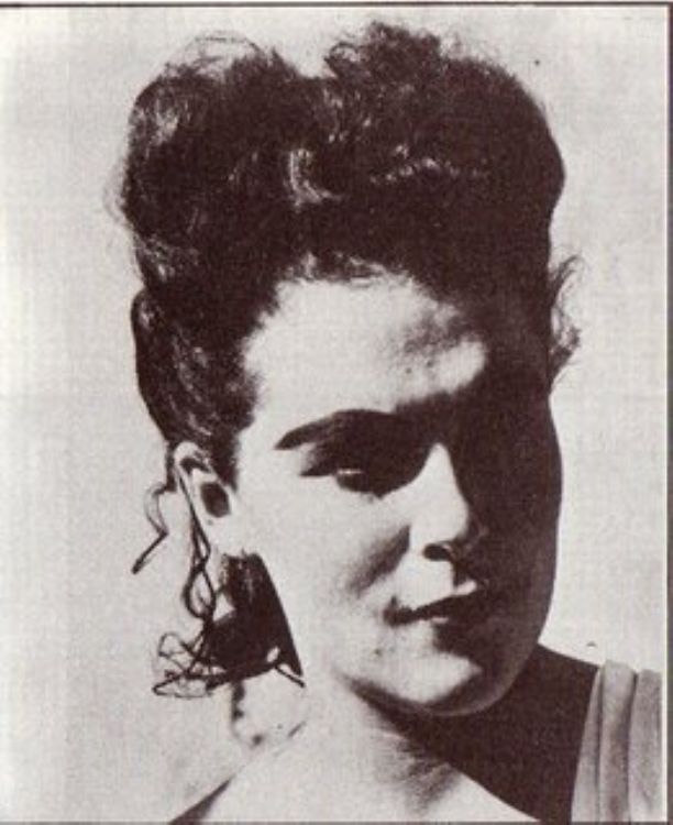
Leonora Carrington was born in South Lancaster, England. ...
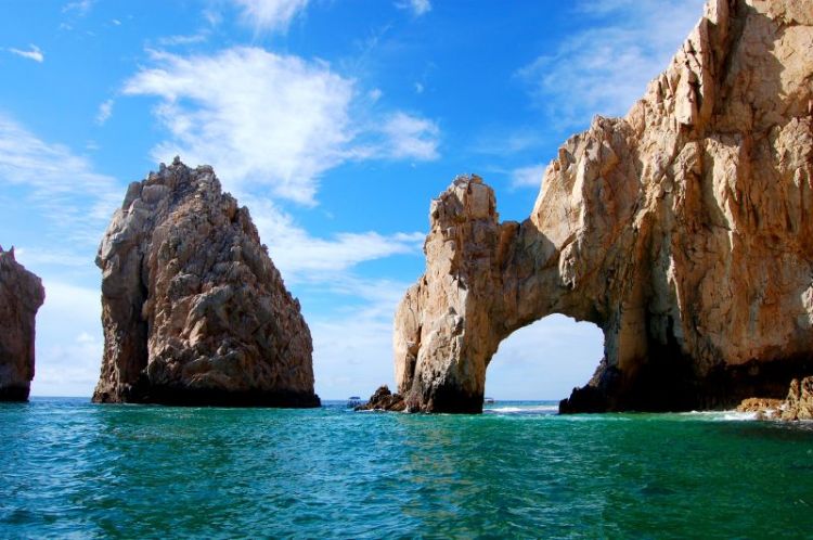
Yucatán has a territorial extensión of 39,612 km2, and 2% of the Mexican surface. The state of Yucatan attaches to the Gulf of Mexico on the North and best, on the east with Quintana Roo, and south with Campeche.
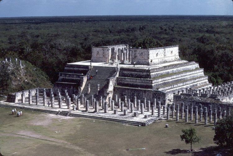
The vegetation is classified as middle and low tropical. The most representative species are henequen, caoba, cedar and caiba.
Yucatan lacks rivers and creeks, which makes its hydrology subterrain (cenotes and lakes).
The predominating climate is hot and subsumid; the average temperature is 78, 80ºF and the rainy season is June-July.
This region lacks in elevated zones, it mainly has rocky territory and deep ditches. These ditches that accumulate rain, originated in the coast of Yucatan. The humidity that comes from the accumulation of this water is important to the fishing activity and to maintain equilibrium for all the ecosystems in the surrounding areas.
The most representative fauna is the pink flamingo, jaguar, Carey turtle, and quail of Yucatan, tepexcuintle, duck, and tapir.
Leonora Carrington was born in South Lancaster, England. ...

The financial magazines Forbes, Fortune, Expansion, and o...
.jpg)
The interpretation of the crisis lived by Mexico in 1994 ...

One of Mexicoâs fundamental problems is migratory flow....
.jpg)
Hurricanes and cyclones occur each year in the Pacific Oc...

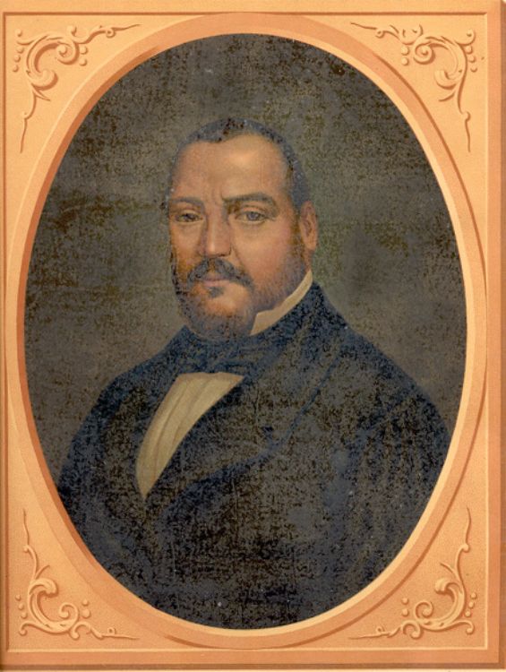
The figure of Antonio Lopez de Santa Anna has been very c...
Mexicoâs War of Reform, also known as the Three Year Wa...

Ever since the Middle Ages, pilgrimages were the way to r...

There are several dates that are considered important in ...
Several foreign and domestic agencies such as the Interna...

The financial magazines Forbes, Fortune, Expansion, and o...