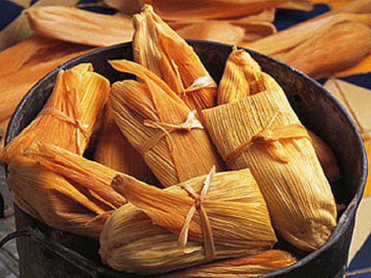
The word tamal has Nahuatl roots and means âwrappedâ....
Located right in the middle of the country, the state of Mexico borders the states of Michoacan, Queretaro and Hidalgo to the north; Tlaxcala, Morelos, Puebla and the Distrito Federal to the east; Guerrero to the south; and Michoacan to the west. It extends throughout a territory of just 22,357 sq. kilometers, which makes it one of the smallest entities in the nation.
The physical configuration of the state is defined by valleys, plateaus and high mountains, with the predominance of a nice temperate climate during most of the year, only a bit humid during the summer. Some of the peaks that stand out in the local landscape include the Popocatepetl Volcano at 5,500 meters; the Iztaccihuatl at 5,220;and the Xinantecatl Volcano or "Nevado de Toluca" at 4,680 meters of altitude. Other major local mountains deserve mention, such as the Cerros El Mirador, Telapon, Atlamasha, Jocotitlan, La Corona, La Catedral, La Calera, Las Palomas, Las Navajas, Cervantes, El Gavilan, El Picacho and the Pelon, all with an altitude over 3,500 meters over sea level. Mountains clearly define much of the landscape of the region, not to mention the fact that the capital Toluca de Lerdo sits at an altitude of 2,660 meters, which makes it the higher in the country.
In terms of hydrological systems, many rivers supply the state with the precious liquid such as the Lerna, San Felipe, Temascaltepec, Sultepec, Tejalpa, La Asuncion, La Venta and San Juan del Rio, just to name a few, in addition to the two major lakes in the region, the Zumpango and Nabor Carrillo. All this resources are stored and managed via eight reservoirs called Valle de Bravo, Villa Victoria, Huapango, Tepetitlan, Guadalupe, Danxho, Ignacio Ramirez and Antonio Alzate dams.
The abundance of natural resources in the state becomes evident when counting no less than eight protected natural reserves within its territories, named Popocatrpetl and Iztaaccihuatl Volcanos, Nevado de Toluca, Molino de Flores Nezahualcoyotl, Insurgente Miguel Hidalgo, Desierto del Carmen, Balneario los Remedios, Sacromonte,
and Bosencheve Natural Reserves.
The highest parts of the region contain a predominant flora consisting of pine, oak and white cedar forests, while the main animals present in the territory are the mountain lion, deer, hare and rabbit. As the landscape turns a vital green on the grazing and pasturelands, the ancient lakes and rivers are home to animal species such as the coyote, badger and muskrat hare.
The word tamal has Nahuatl roots and means âwrappedâ....
.jpg)
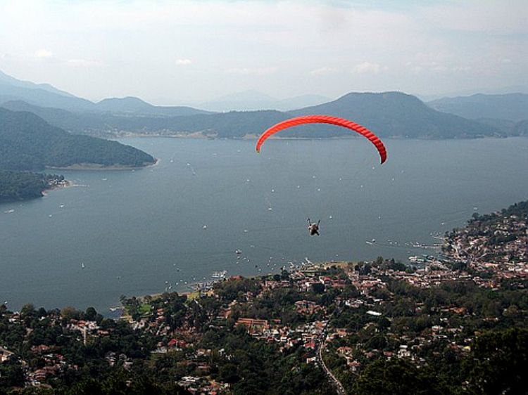
Mexico offers mountain climbers tempting peaks to explore...

Jesus Malverde
Jesus Malv...
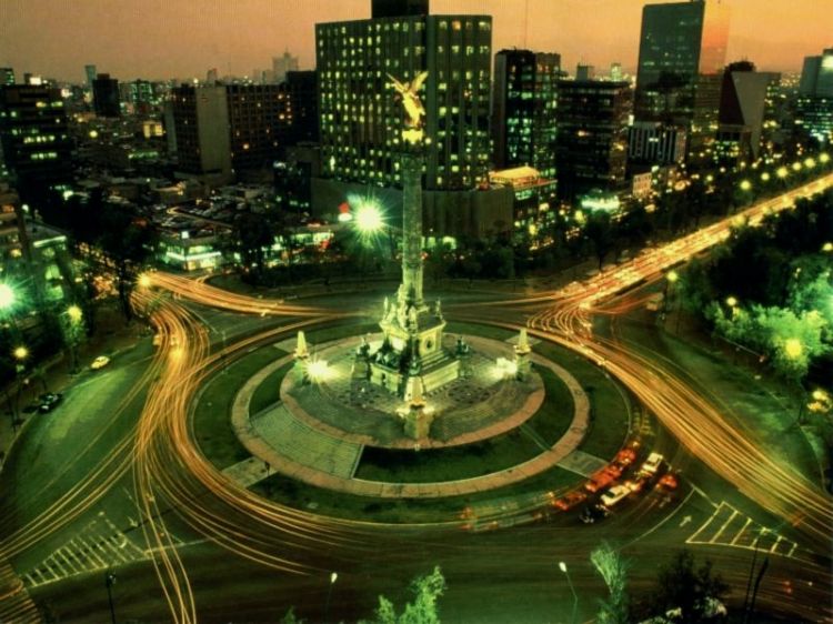
The United Mexican States are characterized by their dive...

Since we are located in a great seismic zone of the world...

José Victoriano Huerta Márquez was born in ...

In the year 1531, as told by the historical documents, to...
Mexicoâs Independence is the result of diverse social c...


The Mexican State fulfills its main goal by guaranteeing ...